Size:

3.47 ha (8.57 acres)

Grid reference:

SD568186

Map reference:

Explorer 285
OS Landranger 108

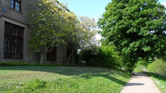
A ribbon of woodland running alongside the B5252 West Way screening the road from the Lancashire Fire and Rescue Service?s Training Centre. As a result it is neither accessible nor particularly attractive but rather functional.

Features

  • Public access
  • Broadleaved woodland

Download

Westway Management Plan

PDF  (263 KB)