Woodland Trust Wood
Granllyn Pool
Guilsfield nr Welshpool
3.30 ha (8.15 acres)
Guilsfield
Woodland Trust wood
30.04 ha (74.23 acres)
SJ222128
Explorer 240
OS Landranger 126
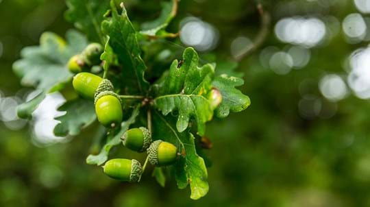
Gaer Fawr occupies a hill just north of Guilsfield (Cegidfa) near Welshpool with a network of paths lead up to an Iron Age fort at the summit. Predominately an oak woodland with an excellent display of bluebells in spring. Onsite can be found an information board a series of seats (some commissioned by local artists) and a small parking area. Views across surrounding landscape from the summit are best before the trees are in full leaf in summer.